The way to Clifford Chambers
Introduction
The photograph on this page of The way to Clifford Chambers by Michael Dibb as part of the Geograph project.
The Geograph project started in 2005 with the aim of publishing, organising and preserving representative images for every square kilometre of Great Britain, Ireland and the Isle of Man.

There are currently over 7.5m images from over 14,400 individuals and you can help contribute to the project by visiting https://www.geograph.org.uk
The way to Clifford Chambers
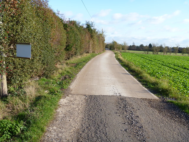
Image: © Michael Dibb Taken: 6 Nov 2011
The road that is the bridleway changes from tarmac surface to concrete surface at this point on its way to Clifford Chambers and the B4632 road.
Images are licensed for reuse under creativecommons.org/licenses/by-sa/2.0
Image Location
Latitude
52.171688
Longitude
-1.719502