Burnthouse Barn
Introduction
The photograph on this page of Burnthouse Barn by Michael Dibb as part of the Geograph project.
The Geograph project started in 2005 with the aim of publishing, organising and preserving representative images for every square kilometre of Great Britain, Ireland and the Isle of Man.

There are currently over 7.5m images from over 14,400 individuals and you can help contribute to the project by visiting https://www.geograph.org.uk
Burnthouse Barn
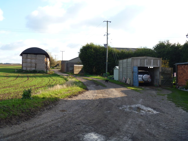
Image: © Michael Dibb Taken: 6 Nov 2011
The original dutch barn and some modern barns are seen from the bridleway.
Images are licensed for reuse under creativecommons.org/licenses/by-sa/2.0
Image Location
Latitude
52.169128
Longitude
-1.740135