Lower Saline Wood
Introduction
The photograph on this page of Lower Saline Wood by William Starkey as part of the Geograph project.
The Geograph project started in 2005 with the aim of publishing, organising and preserving representative images for every square kilometre of Great Britain, Ireland and the Isle of Man.

There are currently over 7.5m images from over 14,400 individuals and you can help contribute to the project by visiting https://www.geograph.org.uk
Lower Saline Wood
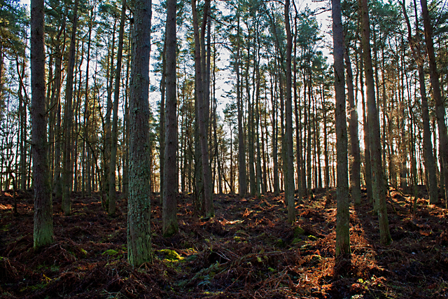
Image: © William Starkey Taken: 23 Jan 2012
Conifers in Lower Saline Wood - sufficient light penetrates to ground level for bracken to flourish here - in poorly draining land.
Images are licensed for reuse under creativecommons.org/licenses/by-sa/2.0
Image Location
Latitude
56.135337
Longitude
-3.689327