Stop sign at the Treherbert end of the Rhondda Line
Introduction
The photograph on this page of Stop sign at the Treherbert end of the Rhondda Line by Jaggery as part of the Geograph project.
The Geograph project started in 2005 with the aim of publishing, organising and preserving representative images for every square kilometre of Great Britain, Ireland and the Isle of Man.

There are currently over 7.5m images from over 14,400 individuals and you can help contribute to the project by visiting https://www.geograph.org.uk
Stop sign at the Treherbert end of the Rhondda Line
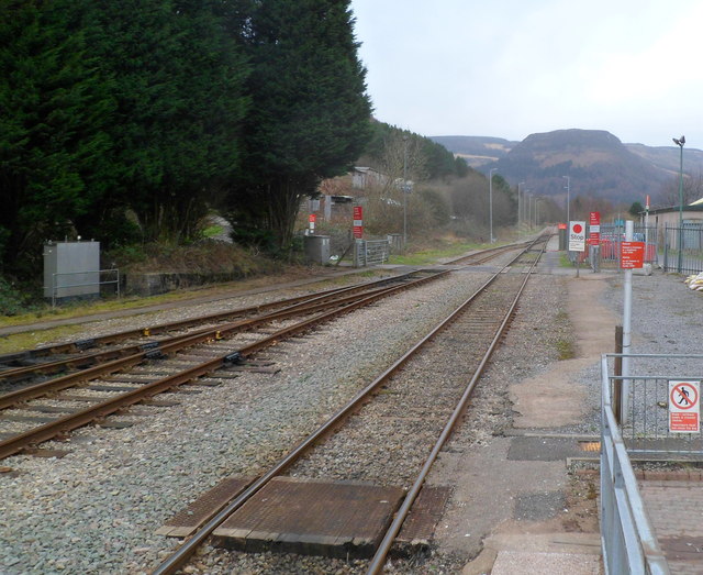
Image: © Jaggery Taken: 23 Jan 2012
Viewed from the edge of the platform at Treherbert station. At the edge of a level crossing, a stop sign with a large red spot marks the northern end of the Rhondda Line, about 37 km (23 miles) NW of Cardiff Central station. In the distance is the distinctive shape of Pen Pych. http://www.geograph.org.uk/photo/1706600
Images are licensed for reuse under creativecommons.org/licenses/by-sa/2.0
Image Location
Latitude
51.6725
Longitude
-3.537179