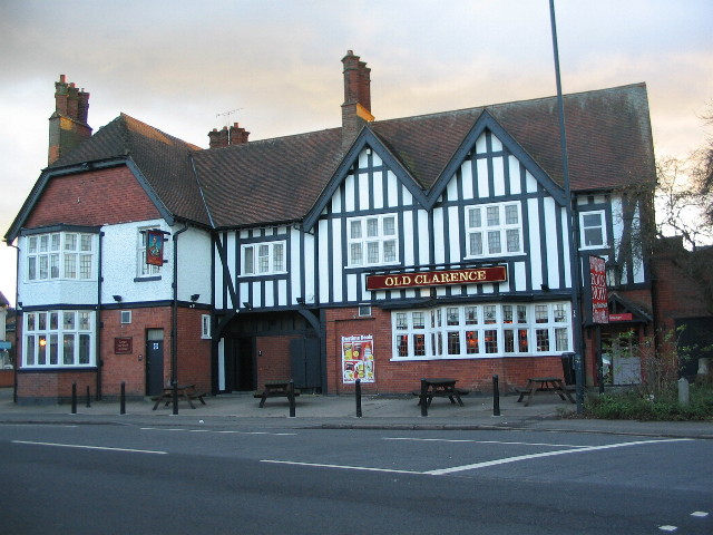
The Old Clarence
Introduction
The photograph on this page of The Old Clarence by E Gammie as part of the Geograph project.
The Geograph project started in 2005 with the aim of publishing, organising and preserving representative images for every square kilometre of Great Britain, Ireland and the Isle of Man.
There are currently over 7.5m images from over 14,400 individuals and you can help contribute to the project by visiting https://www.geograph.org.uk

Image: © E Gammie Taken: 23 Jan 2012
This substantial building originally opened as an 'outdoor' (an off-licence), the Clarence Stores Inn, in 1914 in an area that was just being developed and which had a strong Methodist temperance membership that objected to introduction of public houses. It finally became a licensed public house, the Clarence, in 1929. Like many other pubs in the early 1970s, it was renamed, becoming the Port O'Call until about 1991 after which it was regained its former name with the addition of 'Old'. Context: http://www.geograph.org.uk/photo/30031

