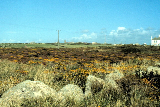
Land's End - 1982
Introduction
The photograph on this page of Land's End - 1982 by Helmut Zozmann as part of the Geograph project.
The Geograph project started in 2005 with the aim of publishing, organising and preserving representative images for every square kilometre of Great Britain, Ireland and the Isle of Man.
There are currently over 7.5m images from over 14,400 individuals and you can help contribute to the project by visiting https://www.geograph.org.uk

Image: © Helmut Zozmann Taken: 20 Aug 1982
Land's End, Cornwall, Trevescan Cliff, Sennen Cove visible in the distance. Land's End is a headland and small settlement in west Cornwall, England, within the United Kingdom. It is located on the Penwith peninsula approximately 13 km west-southwest of Penzance. Land's End is the extreme westerly point on the mainland of England. Land's End has a particular resonance because it is often used to suggest distance. Land's End to John o' Groats in Scotland is a distance of 1349 km by road and this Land's End to John o' Groats distance is often used to define races, walks or charitable events in the UK.

