Rhondda Line heads away from Treorchy towards Ynyswen
Introduction
The photograph on this page of Rhondda Line heads away from Treorchy towards Ynyswen by Jaggery as part of the Geograph project.
The Geograph project started in 2005 with the aim of publishing, organising and preserving representative images for every square kilometre of Great Britain, Ireland and the Isle of Man.

There are currently over 7.5m images from over 14,400 individuals and you can help contribute to the project by visiting https://www.geograph.org.uk
Rhondda Line heads away from Treorchy towards Ynyswen
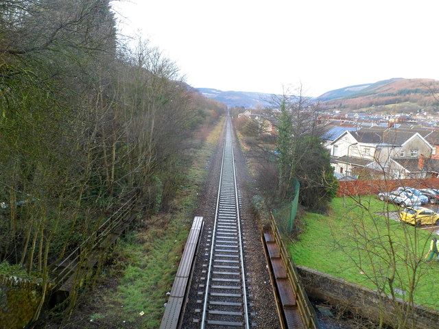
Image: © Jaggery Taken: 23 Jan 2012
Viewed from Station Road bridge. http://www.geograph.org.uk/photo/2776009 In the foreground, the line crosses a bridge over a stream, Nant Cwm-parc.
Images are licensed for reuse under creativecommons.org/licenses/by-sa/2.0
Image Location
Latitude
51.658475
Longitude
-3.509235