Damstone Lane Adel
Introduction
The photograph on this page of Damstone Lane Adel by Rick Carn as part of the Geograph project.
The Geograph project started in 2005 with the aim of publishing, organising and preserving representative images for every square kilometre of Great Britain, Ireland and the Isle of Man.

There are currently over 7.5m images from over 14,400 individuals and you can help contribute to the project by visiting https://www.geograph.org.uk
Damstone Lane Adel
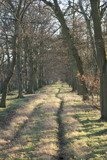
Image: © Rick Carn Taken: 23 Jan 2012
Ancient road/pathway to Arthington Rd, thence Arthington Lane. That was an important trading route, the Tadcaster Turnpike, and used to go past the front door of Harewood House. http://www.johnhearfield.com/History/Adel.htm
Images are licensed for reuse under creativecommons.org/licenses/by-sa/2.0
Image Location
Latitude
53.862446
Longitude
-1.58912