Crescent Rise
Introduction
The photograph on this page of Crescent Rise by Martin Addison as part of the Geograph project.
The Geograph project started in 2005 with the aim of publishing, organising and preserving representative images for every square kilometre of Great Britain, Ireland and the Isle of Man.

There are currently over 7.5m images from over 14,400 individuals and you can help contribute to the project by visiting https://www.geograph.org.uk
Crescent Rise
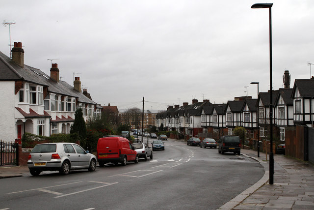
Image: © Martin Addison Taken: 20 Jan 2012
Seen from the junction with Durnsford Road. The road was laid out circa 1920 and initially formed part of Durnsford Road - it presumably took on the name Crescent Rise after Durnsford Road was extended to connect with Albert Road along its current routing. The housing was built between 1920 and 1935.
Images are licensed for reuse under creativecommons.org/licenses/by-sa/2.0
Image Location
Latitude
51.602557
Longitude
-0.128925