Ship Street
Introduction
The photograph on this page of Ship Street by Simon Carey as part of the Geograph project.
The Geograph project started in 2005 with the aim of publishing, organising and preserving representative images for every square kilometre of Great Britain, Ireland and the Isle of Man.

There are currently over 7.5m images from over 14,400 individuals and you can help contribute to the project by visiting https://www.geograph.org.uk
Ship Street
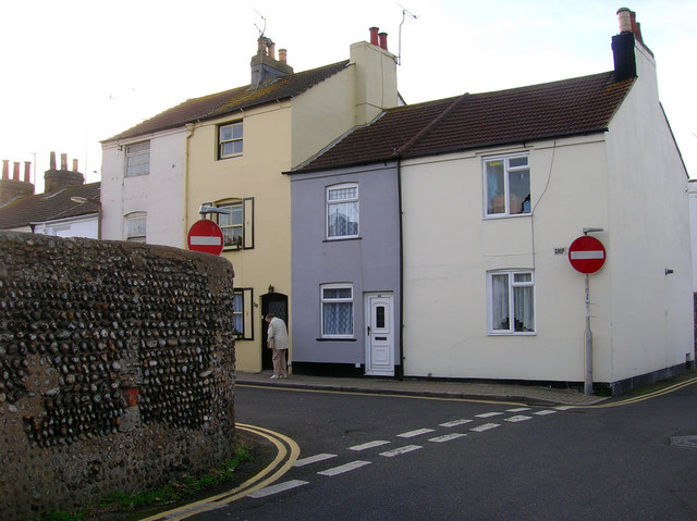
Image: © Simon Carey Taken: 12 Nov 2006
Taken from its northern junction with North Street. New Shoreham was a planned medieval new town whose boundaries can still be discerned today. The flint walls in particular marking out the limits of the streets.
Images are licensed for reuse under creativecommons.org/licenses/by-sa/2.0
Image Location


Leaflet Map data © OpenStreetMap
Latitude
50.833611
Longitude
-0.277431