River Stour, Overlooking Bailey Bridge Retail Park
Introduction
The photograph on this page of River Stour, Overlooking Bailey Bridge Retail Park by Lorraine and Keith Bowdler as part of the Geograph project.
The Geograph project started in 2005 with the aim of publishing, organising and preserving representative images for every square kilometre of Great Britain, Ireland and the Isle of Man.

There are currently over 7.5m images from over 14,400 individuals and you can help contribute to the project by visiting https://www.geograph.org.uk
River Stour, Overlooking Bailey Bridge Retail Park
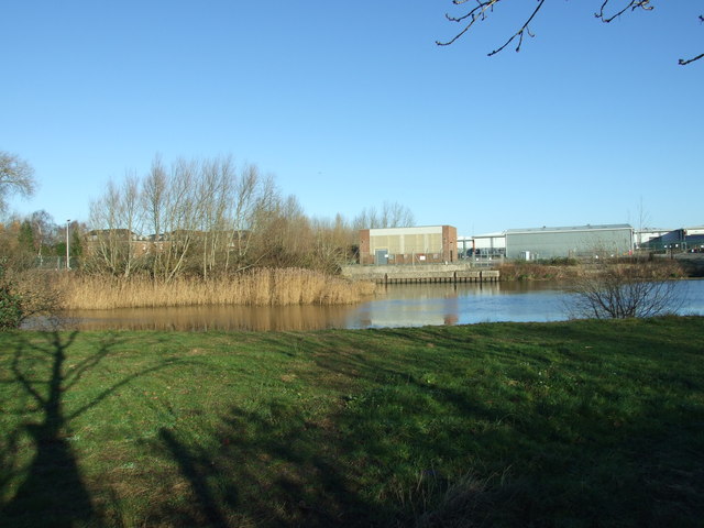
Image: © Lorraine and Keith Bowdler Taken: 11 Jan 2012
The Bailey Bridge was developed across the river, where the Bailey Bridge Retail Park now stands. The former Barracks, which are now converted into flats can be seen through the trees on the left-hand side of the photo.
Images are licensed for reuse under creativecommons.org/licenses/by-sa/2.0
Image Location


Leaflet Map data © OpenStreetMap
Latitude
50.737329
Longitude
-1.793478