Wymington Spinney
Introduction
The photograph on this page of Wymington Spinney by Kokai as part of the Geograph project.
The Geograph project started in 2005 with the aim of publishing, organising and preserving representative images for every square kilometre of Great Britain, Ireland and the Isle of Man.

There are currently over 7.5m images from over 14,400 individuals and you can help contribute to the project by visiting https://www.geograph.org.uk
Wymington Spinney
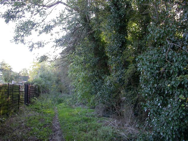
Image: © Kokai Taken: 9 Nov 2006
The shot is taken from a bridleway along the side of the spinney. The bridleway is part of what was the main road until the C13th when it was superseded by the road through Higham Ferrers which became a market town at that time. The old road includes a footpath which continues from the bridleway to the northwest.
Images are licensed for reuse under creativecommons.org/licenses/by-sa/2.0
Image Location


Leaflet Map data © OpenStreetMap
Latitude
52.283745
Longitude
-0.61509