
Fletton: Former Hicks Brick Works
Introduction
The photograph on this page of Fletton: Former Hicks Brick Works by Nigel Cox as part of the Geograph project.
The Geograph project started in 2005 with the aim of publishing, organising and preserving representative images for every square kilometre of Great Britain, Ireland and the Isle of Man.

There are currently over 7.5m images from over 14,400 individuals and you can help contribute to the project by visiting https://www.geograph.org.uk
Fletton: Former Hicks Brick Works
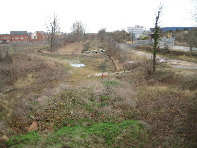
Image: © Nigel Cox Taken: 21 Jan 2012
The 1889 Ordnance Survey map shows this area to be the Fletton Brick and Tile Works. However by the time that the 1926 edition was published it had become the site of the Hicks Brick Works Yard Number 2. From the 1971 mapping the older buildings on the site had then been removed and a double track railway had been built to serve Hicks' other works further to the south. The swathe through the centre of the photograph shows the route of the railway, taken from the bridge over it on Hicks Lane. For a view in the opposite direction please see Image
Images are licensed for reuse under creativecommons.org/licenses/by-sa/2.0
Image Location

Latitude
52.551098
Longitude
-0.24651