Radstock Way Open Space, Merstham
Introduction
The photograph on this page of Radstock Way Open Space, Merstham by Stacey Harris as part of the Geograph project.
The Geograph project started in 2005 with the aim of publishing, organising and preserving representative images for every square kilometre of Great Britain, Ireland and the Isle of Man.

There are currently over 7.5m images from over 14,400 individuals and you can help contribute to the project by visiting https://www.geograph.org.uk
Radstock Way Open Space, Merstham
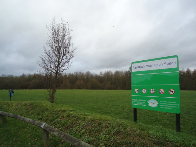
Image: © Stacey Harris Taken: 21 Jan 2012
Not as quiet as it seems, the M25 / M23 junction is just behind the trees
Images are licensed for reuse under creativecommons.org/licenses/by-sa/2.0
Image Location
Latitude
51.262443
Longitude
-0.133739