Hampton Hargate: Hope Pond and its shelter
Introduction
The photograph on this page of Hampton Hargate: Hope Pond and its shelter by Nigel Cox as part of the Geograph project.
The Geograph project started in 2005 with the aim of publishing, organising and preserving representative images for every square kilometre of Great Britain, Ireland and the Isle of Man.

There are currently over 7.5m images from over 14,400 individuals and you can help contribute to the project by visiting https://www.geograph.org.uk
Hampton Hargate: Hope Pond and its shelter
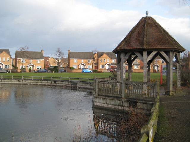
Image: © Nigel Cox Taken: 21 Jan 2012
Alas the shelter, in the new township of Hampton Hargate, is already defaced by graffiti.
Images are licensed for reuse under creativecommons.org/licenses/by-sa/2.0
Image Location
Latitude
52.541426
Longitude
-0.267393