Marston Marshes
Introduction
The photograph on this page of Marston Marshes by Katy Walters as part of the Geograph project.
The Geograph project started in 2005 with the aim of publishing, organising and preserving representative images for every square kilometre of Great Britain, Ireland and the Isle of Man.

There are currently over 7.5m images from over 14,400 individuals and you can help contribute to the project by visiting https://www.geograph.org.uk
Marston Marshes
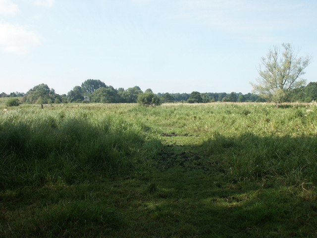
Image: © Katy Walters Taken: 16 Jul 2005
Looking SW from the entrance near the golf club, off Marston Lane.
Images are licensed for reuse under creativecommons.org/licenses/by-sa/2.0
Image Location


Leaflet Map data © OpenStreetMap
Latitude
52.603127
Longitude
1.265125