View of Rustat Ave taken 21/6/2003
Introduction
The photograph on this page of View of Rustat Ave taken 21/6/2003 by chris hayes as part of the Geograph project.
The Geograph project started in 2005 with the aim of publishing, organising and preserving representative images for every square kilometre of Great Britain, Ireland and the Isle of Man.

There are currently over 7.5m images from over 14,400 individuals and you can help contribute to the project by visiting https://www.geograph.org.uk
View of Rustat Ave taken 21/6/2003
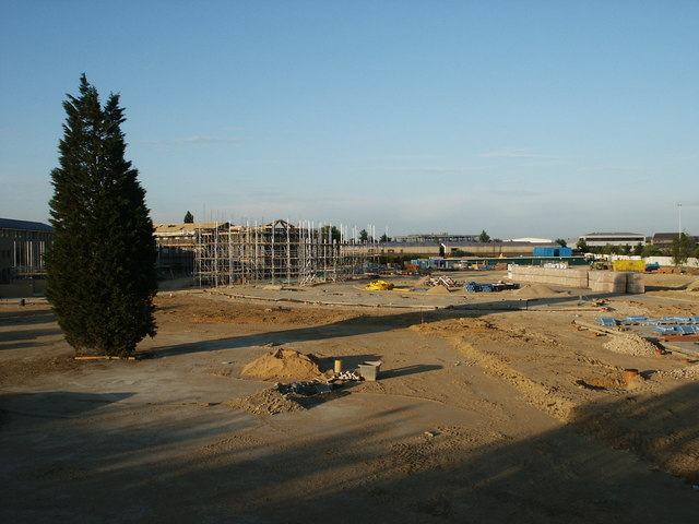
Image: © chris hayes Taken: 21 Jun 2003
View of Rustat Ave after Cambridge Instruments factory was demolished, but before houses were erected.
Images are licensed for reuse under creativecommons.org/licenses/by-sa/2.0
Image Location


Leaflet Map data © OpenStreetMap
Latitude
52.19469
Longitude
0.140193