Wharton Lane - Graveyard
Introduction
The photograph on this page of Wharton Lane - Graveyard by Anthony Parkes as part of the Geograph project.
The Geograph project started in 2005 with the aim of publishing, organising and preserving representative images for every square kilometre of Great Britain, Ireland and the Isle of Man.

There are currently over 7.5m images from over 14,400 individuals and you can help contribute to the project by visiting https://www.geograph.org.uk
Wharton Lane - Graveyard
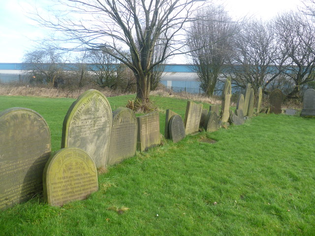
Image: © Anthony Parkes Taken: 22 Jan 2012
Wharton Lane Presbyterian Church was founded around 1850 and closed around 1970. The building was at risk of mining subsidence from the local pits, so the members began to worship in a different venue and the old church was demolished.
Images are licensed for reuse under creativecommons.org/licenses/by-sa/2.0
Image Location
Latitude
53.53103
Longitude
-2.441685