Bradley Farm
Introduction
The photograph on this page of Bradley Farm by Richard Greenwood as part of the Geograph project.
The Geograph project started in 2005 with the aim of publishing, organising and preserving representative images for every square kilometre of Great Britain, Ireland and the Isle of Man.

There are currently over 7.5m images from over 14,400 individuals and you can help contribute to the project by visiting https://www.geograph.org.uk
Bradley Farm
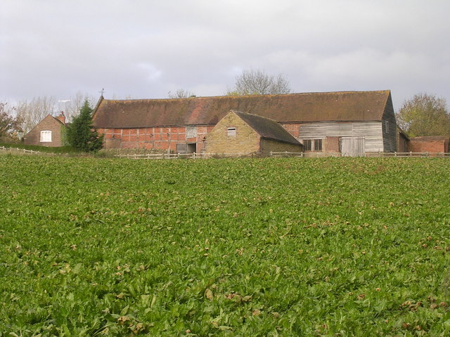
Image: © Richard Greenwood Taken: 12 Nov 2006
This area of SE Shropshire has a number of large farm houses situated on rising ground. The crop in the foreground is sugarbeet.
Images are licensed for reuse under creativecommons.org/licenses/by-sa/2.0
Image Location
Latitude
52.411831
Longitude
-2.426297