Elbury Lane
Introduction
The photograph on this page of Elbury Lane by Derek Harper as part of the Geograph project.
The Geograph project started in 2005 with the aim of publishing, organising and preserving representative images for every square kilometre of Great Britain, Ireland and the Isle of Man.

There are currently over 7.5m images from over 14,400 individuals and you can help contribute to the project by visiting https://www.geograph.org.uk
Elbury Lane
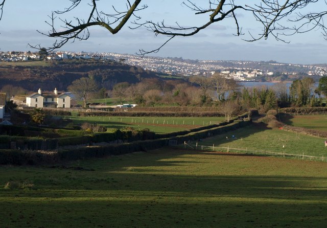
Image: © Derek Harper Taken: 16 Jan 2012
Elbury and Elberry seem interchangeable; the nearby cove and farm (the farmhouse is on the left), and the metalled part of the lane, are "Elberry", but the path that runs diagonally across this image (and shown in Image) is mapped as "Elbury Lane". This view is from the edge of Marrisge Wood. Tor Bay and parts of Paignton are in the background.
Images are licensed for reuse under creativecommons.org/licenses/by-sa/2.0
Image Location


Leaflet Map data © OpenStreetMap
Latitude
50.400752
Longitude
-3.549122