Irchester Road, Knuston
Introduction
The photograph on this page of Irchester Road, Knuston by Kokai as part of the Geograph project.
The Geograph project started in 2005 with the aim of publishing, organising and preserving representative images for every square kilometre of Great Britain, Ireland and the Isle of Man.

There are currently over 7.5m images from over 14,400 individuals and you can help contribute to the project by visiting https://www.geograph.org.uk
Irchester Road, Knuston
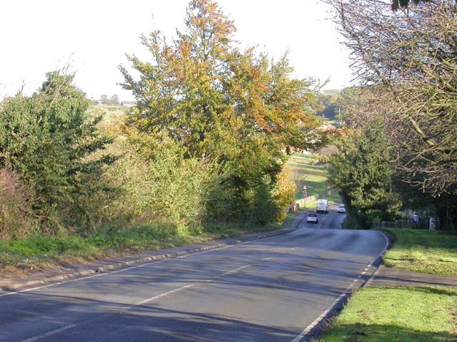
Image: © Kokai Taken: 9 Nov 2006
The lowest part of the road is known as 'the ford' but the red brick of a bridge can be seen which carries both the road and pavement over the brook to which there is no obvious access.
Images are licensed for reuse under creativecommons.org/licenses/by-sa/2.0
Image Location


Leaflet Map data © OpenStreetMap
Latitude
52.285096
Longitude
-0.630734