Line of the Metrolink extension near Chorlton High School
Introduction
The photograph on this page of Line of the Metrolink extension near Chorlton High School by Phil Champion as part of the Geograph project.
The Geograph project started in 2005 with the aim of publishing, organising and preserving representative images for every square kilometre of Great Britain, Ireland and the Isle of Man.

There are currently over 7.5m images from over 14,400 individuals and you can help contribute to the project by visiting https://www.geograph.org.uk
Line of the Metrolink extension near Chorlton High School
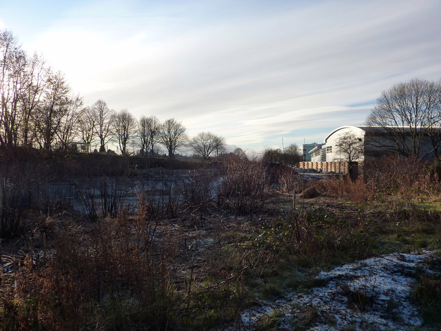
Image: © Phil Champion Taken: 18 Dec 2011
The new tram route to Chorlton / St Werburgh's Road opened in 2011. Work was well underway on the next two extensions to the network - a continuation of the South Manchester Line along the disused railway to Didsbury, and a line to Manchester Airport. The latter will leave the existing line just after St Werburgh's Road, cutting across former school playing fields and Chorlton Brook to join Mauldeth Road West at the end of the line of trees. Work was already well underway on the new route.
Images are licensed for reuse under creativecommons.org/licenses/by-sa/2.0
Image Location
Latitude
53.437088
Longitude
-2.262784