Manor Park turning
Introduction
The photograph on this page of Manor Park turning by Ruth Riddle as part of the Geograph project.
The Geograph project started in 2005 with the aim of publishing, organising and preserving representative images for every square kilometre of Great Britain, Ireland and the Isle of Man.

There are currently over 7.5m images from over 14,400 individuals and you can help contribute to the project by visiting https://www.geograph.org.uk
Manor Park turning
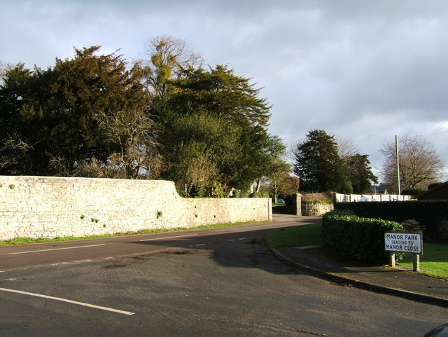
Image: © Ruth Riddle Taken: 21 Jan 2012
The junction where Manor Park (leading to Manor Close) turns off Washingpool Hill Road. The exit drive from Tockington Manor School can be seen on the opposite side of the main road.
Images are licensed for reuse under creativecommons.org/licenses/by-sa/2.0
Image Location
Latitude
51.57664
Longitude
-2.563316