Ruined shed
Introduction
The photograph on this page of Ruined shed by David Smith as part of the Geograph project.
The Geograph project started in 2005 with the aim of publishing, organising and preserving representative images for every square kilometre of Great Britain, Ireland and the Isle of Man.

There are currently over 7.5m images from over 14,400 individuals and you can help contribute to the project by visiting https://www.geograph.org.uk
Ruined shed
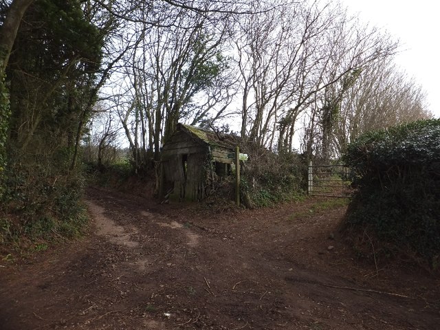
Image: © David Smith Taken: 20 Jan 2012
The shed stands at a crossroads; the paved road turns through a right angle, and is joined by a bridleway (to Shutelake Farm) and footpath (to Birchen Oak at Image])
Images are licensed for reuse under creativecommons.org/licenses/by-sa/2.0
Image Location
Latitude
50.86069
Longitude
-3.457322