Buildings at Ardlussa
Introduction
The photograph on this page of Buildings at Ardlussa by Trevor Littlewood as part of the Geograph project.
The Geograph project started in 2005 with the aim of publishing, organising and preserving representative images for every square kilometre of Great Britain, Ireland and the Isle of Man.

There are currently over 7.5m images from over 14,400 individuals and you can help contribute to the project by visiting https://www.geograph.org.uk
Buildings at Ardlussa
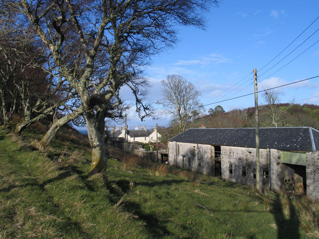
Image: © Trevor Littlewood Taken: 17 Apr 2006
Farm buildings and more distantly, cottages at the small Jura settlement of Ardlussa are seen from the track rising northwards for the low hill Cnoc an Lomair.
Images are licensed for reuse under creativecommons.org/licenses/by-sa/2.0
Image Location


Leaflet Map data © OpenStreetMap
Latitude
56.02623
Longitude
-5.774621