Barloan Toll Roundabout
Introduction
The photograph on this page of Barloan Toll Roundabout by Lairich Rig as part of the Geograph project.
The Geograph project started in 2005 with the aim of publishing, organising and preserving representative images for every square kilometre of Great Britain, Ireland and the Isle of Man.

There are currently over 7.5m images from over 14,400 individuals and you can help contribute to the project by visiting https://www.geograph.org.uk
Barloan Toll Roundabout
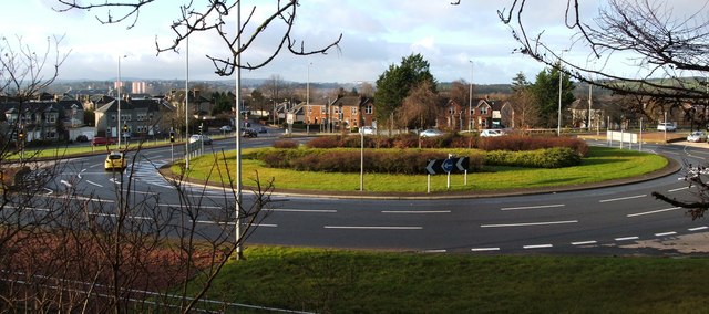
Image: © Lairich Rig Taken: 9 Jan 2012
The picture was taken from a path that leads up into Bellsmyre. As the name suggests, Barloan Toll was located on the boundary of the burgh. When trams were running in Dumbarton (from 1907 to 1928), there was a branch line to Barloan Toll (now the site of the roundabout). The branch line left the main line at Church Place (beside Image) and followed Image, Strathleven Place, and Image [see "Dumbarton's Trams and Buses", A.W.Brotchie and R.L.Grieves, 1985]. Compare Image
Images are licensed for reuse under creativecommons.org/licenses/by-sa/2.0
Image Location
Latitude
55.953183
Longitude
-4.555498