Sling Lane
Introduction
The photograph on this page of Sling Lane by Philip Halling as part of the Geograph project.
The Geograph project started in 2005 with the aim of publishing, organising and preserving representative images for every square kilometre of Great Britain, Ireland and the Isle of Man.

There are currently over 7.5m images from over 14,400 individuals and you can help contribute to the project by visiting https://www.geograph.org.uk
Sling Lane
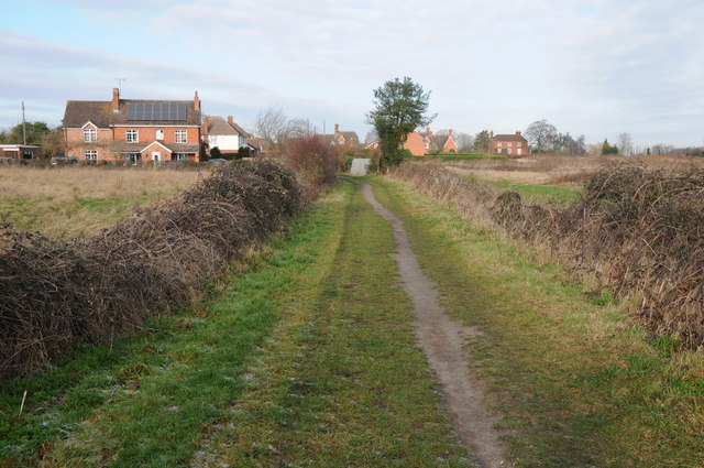
Image: © Philip Halling Taken: 15 Jan 2012
Sling Lane approaching Fernhill Heath. This is a popular path between the village and Hindlip Hall which is the headquarters of the West Mercia Constabulary.
Images are licensed for reuse under creativecommons.org/licenses/by-sa/2.0
Image Location
Latitude
52.229862
Longitude
-2.186191