Horse and Farrier Public House, Bridge Street
Introduction
The photograph on this page of Horse and Farrier Public House, Bridge Street by Mark Anderson as part of the Geograph project.
The Geograph project started in 2005 with the aim of publishing, organising and preserving representative images for every square kilometre of Great Britain, Ireland and the Isle of Man.

There are currently over 7.5m images from over 14,400 individuals and you can help contribute to the project by visiting https://www.geograph.org.uk
Horse and Farrier Public House, Bridge Street
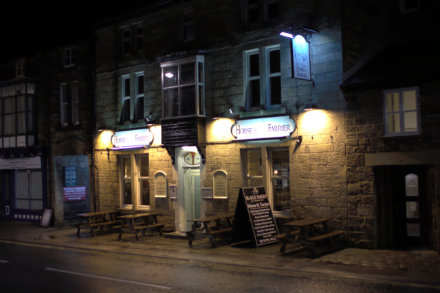
Image: © Mark Anderson Taken: 20 Jan 2012
There is a cut bench mark just to the right of the table. A closer view can be seen here: Image
Images are licensed for reuse under creativecommons.org/licenses/by-sa/2.0
Image Location


Leaflet Map data © OpenStreetMap
Latitude
53.906682
Longitude
-1.693805