A537 near Dumville's Farm
Introduction
The photograph on this page of A537 near Dumville's Farm by Peter Whatley as part of the Geograph project.
The Geograph project started in 2005 with the aim of publishing, organising and preserving representative images for every square kilometre of Great Britain, Ireland and the Isle of Man.

There are currently over 7.5m images from over 14,400 individuals and you can help contribute to the project by visiting https://www.geograph.org.uk
A537 near Dumville's Farm
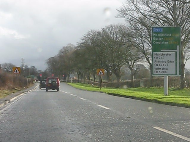
Image: © Peter Whatley Taken: 19 Jan 2012
The turning on the left was for many years a short cut along a minimally maintained country lane to avoid Monk's Heath crossroads and its traffic lights. In tandem with construction of the Alderley Edge bypass, the lane was resurfaced and slightly widened and now forms the signposted route from Chelford roundabout for northbound through traffic.
Images are licensed for reuse under creativecommons.org/licenses/by-sa/2.0
Image Location


Leaflet Map data © OpenStreetMap
Latitude
53.264461
Longitude
-2.241634