NW boundary of Bassaleg
Introduction
The photograph on this page of NW boundary of Bassaleg by Jaggery as part of the Geograph project.
The Geograph project started in 2005 with the aim of publishing, organising and preserving representative images for every square kilometre of Great Britain, Ireland and the Isle of Man.

There are currently over 7.5m images from over 14,400 individuals and you can help contribute to the project by visiting https://www.geograph.org.uk
NW boundary of Bassaleg
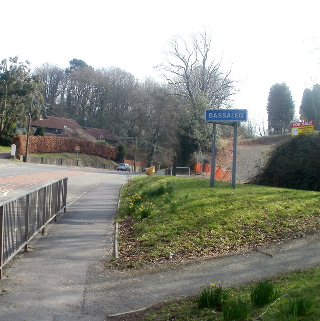
Image: © Jaggery Taken: 5 Mar 2011
Viewed from Rhiwderin, near the Friendly Fox pub. http://www.geograph.org.uk/photo/1780840 The road on the left is Caerphilly Road (A468).
Images are licensed for reuse under creativecommons.org/licenses/by-sa/2.0
Image Location
Latitude
51.577964
Longitude
-3.060629