Square setts, Belfast
Introduction
The photograph on this page of Square setts, Belfast by Albert Bridge as part of the Geograph project.
The Geograph project started in 2005 with the aim of publishing, organising and preserving representative images for every square kilometre of Great Britain, Ireland and the Isle of Man.

There are currently over 7.5m images from over 14,400 individuals and you can help contribute to the project by visiting https://www.geograph.org.uk
Square setts, Belfast
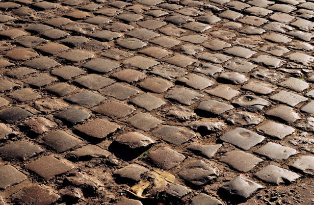
Image: © Albert Bridge Taken: 19 Jan 2012
The surviving setts, in Belfast, are wholly or mainly rectangular Image and Image This area of the square version is in Bain’s Place Image (Amelia Street end).
Images are licensed for reuse under creativecommons.org/licenses/by-sa/2.0
Image Location
Latitude
54.594507
Longitude
-5.93362