Lane to Gweryd Fishing Lakes
Introduction
The photograph on this page of Lane to Gweryd Fishing Lakes by John S Turner as part of the Geograph project.
The Geograph project started in 2005 with the aim of publishing, organising and preserving representative images for every square kilometre of Great Britain, Ireland and the Isle of Man.

There are currently over 7.5m images from over 14,400 individuals and you can help contribute to the project by visiting https://www.geograph.org.uk
Lane to Gweryd Fishing Lakes
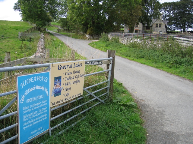
Image: © John S Turner Taken: 28 Sep 2006
Access lane to Gweryd Fishing Lakes with Plâs Llanarmon in the trees on the right.
Images are licensed for reuse under creativecommons.org/licenses/by-sa/2.0
Image Location


Leaflet Map data © OpenStreetMap
Latitude
53.092247
Longitude
-3.219948