Footpath to Hackhurst Lane
Introduction
The photograph on this page of Footpath to Hackhurst Lane by Simon Carey as part of the Geograph project.
The Geograph project started in 2005 with the aim of publishing, organising and preserving representative images for every square kilometre of Great Britain, Ireland and the Isle of Man.

There are currently over 7.5m images from over 14,400 individuals and you can help contribute to the project by visiting https://www.geograph.org.uk
Footpath to Hackhurst Lane
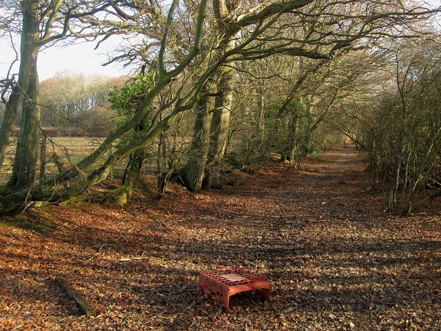
Image: © Simon Carey Taken: 15 Jan 2012
Linking that lane with Nash Street to the west and following the northern boundary of the old Dicker Common.
Images are licensed for reuse under creativecommons.org/licenses/by-sa/2.0
Image Location
Latitude
50.88695
Longitude
0.21278