Marigolds Farm
Introduction
The photograph on this page of Marigolds Farm by Simon Carey as part of the Geograph project.
The Geograph project started in 2005 with the aim of publishing, organising and preserving representative images for every square kilometre of Great Britain, Ireland and the Isle of Man.

There are currently over 7.5m images from over 14,400 individuals and you can help contribute to the project by visiting https://www.geograph.org.uk
Marigolds Farm
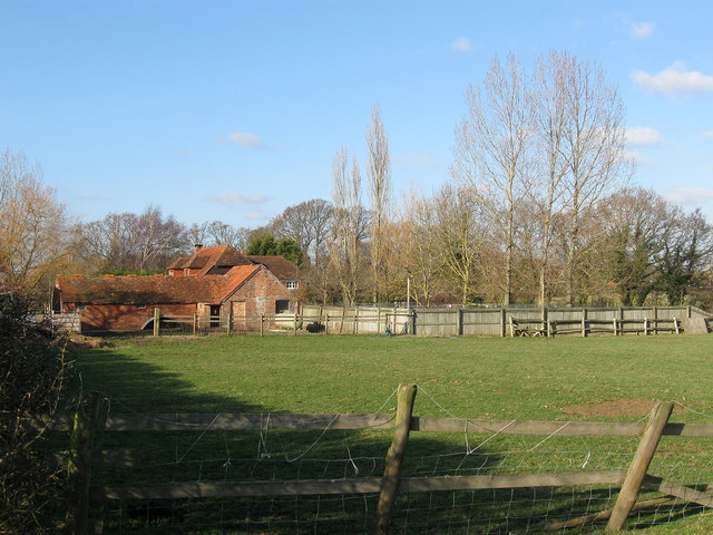
Image: © Simon Carey Taken: 15 Jan 2012
Parts of the farmhouse date back to the 17th century with 18th century additions. Originally built next to the former Dicker Common the farm would have used it for grazing livestock.
Images are licensed for reuse under creativecommons.org/licenses/by-sa/2.0
Image Location


Leaflet Map data © OpenStreetMap
Latitude
50.887868
Longitude
0.202302