Dicker Plot
Introduction
The photograph on this page of Dicker Plot by Simon Carey as part of the Geograph project.
The Geograph project started in 2005 with the aim of publishing, organising and preserving representative images for every square kilometre of Great Britain, Ireland and the Isle of Man.

There are currently over 7.5m images from over 14,400 individuals and you can help contribute to the project by visiting https://www.geograph.org.uk
Dicker Plot
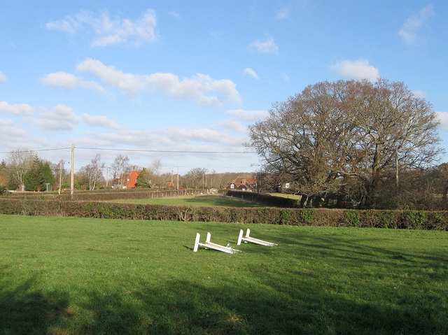
Image: © Simon Carey Taken: 15 Jan 2012
The name of the small field according to Chiddingly's 1839 tithe map that was created after the enclosure of Dicker Common in 1813. This near the northern entrance to the common and the layout of the newer plots show how the entrances and exits used to funnel into a common. Beyond are the houses of the small hamlet of Nash Street originally built in that location to make use of the common to graze their livestock.
Images are licensed for reuse under creativecommons.org/licenses/by-sa/2.0
Image Location


Leaflet Map data © OpenStreetMap
Latitude
50.888341
Longitude
0.201045