Steps on public footpath at Platts Common
Introduction
The photograph on this page of Steps on public footpath at Platts Common by Graham Hogg as part of the Geograph project.
The Geograph project started in 2005 with the aim of publishing, organising and preserving representative images for every square kilometre of Great Britain, Ireland and the Isle of Man.

There are currently over 7.5m images from over 14,400 individuals and you can help contribute to the project by visiting https://www.geograph.org.uk
Steps on public footpath at Platts Common
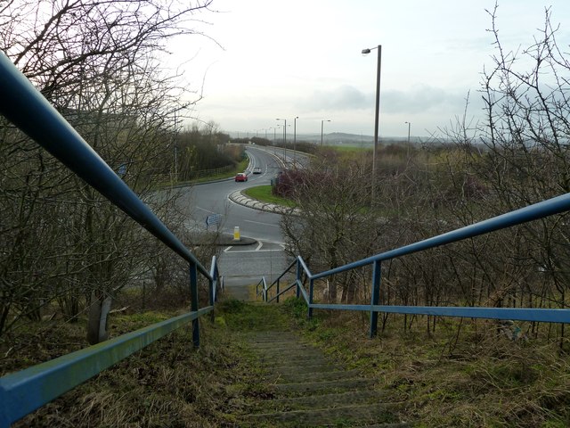
Image: © Graham Hogg Taken: 18 Jan 2012
Little used, like several other footpaths in this area. The road is the recently constructed A6195 M1-A1(M) link road through the Dearne Valley.
Images are licensed for reuse under creativecommons.org/licenses/by-sa/2.0
Image Location


Leaflet Map data © OpenStreetMap
Latitude
53.509182
Longitude
-1.448241