Castle Road, Fortuneswell
Introduction
The photograph on this page of Castle Road, Fortuneswell by Colin Smith as part of the Geograph project.
The Geograph project started in 2005 with the aim of publishing, organising and preserving representative images for every square kilometre of Great Britain, Ireland and the Isle of Man.

There are currently over 7.5m images from over 14,400 individuals and you can help contribute to the project by visiting https://www.geograph.org.uk
Castle Road, Fortuneswell
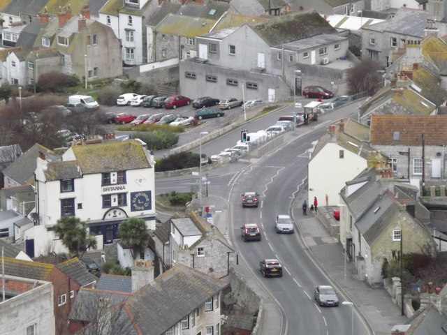
Image: © Colin Smith Taken: 14 Jan 2012
Main road running through Portland's largest village. The Britannia pub is prominent on the road bend. http://en.wikipedia.org/wiki/Isle_of_Portland
Images are licensed for reuse under creativecommons.org/licenses/by-sa/2.0
Image Location
Latitude
50.561565
Longitude
-2.446505