The Thames at Mortlake: the view downstream, at dusk
Introduction
The photograph on this page of The Thames at Mortlake: the view downstream, at dusk by Stefan Czapski as part of the Geograph project.
The Geograph project started in 2005 with the aim of publishing, organising and preserving representative images for every square kilometre of Great Britain, Ireland and the Isle of Man.

There are currently over 7.5m images from over 14,400 individuals and you can help contribute to the project by visiting https://www.geograph.org.uk
The Thames at Mortlake: the view downstream, at dusk
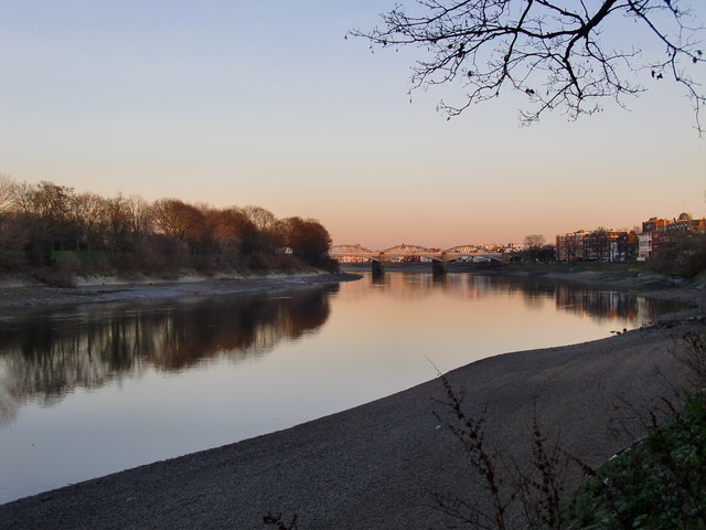
Image: © Stefan Czapski Taken: 16 Jan 2012
Low water, or a little after - the tide has now turned. Across the river, Dukes Meadows; in the middle distance (near the right-hand margin of the picture) the white verandahs of the 'White Hart', with Barnes Bridge further downstream.
Images are licensed for reuse under creativecommons.org/licenses/by-sa/2.0
Image Location
Latitude
51.470406
Longitude
-0.259891