Flush bracket S0333 on Bangor Road, Penmaenmawr
Introduction
The photograph on this page of Flush bracket S0333 on Bangor Road, Penmaenmawr by Meirion as part of the Geograph project.
The Geograph project started in 2005 with the aim of publishing, organising and preserving representative images for every square kilometre of Great Britain, Ireland and the Isle of Man.

There are currently over 7.5m images from over 14,400 individuals and you can help contribute to the project by visiting https://www.geograph.org.uk
Flush bracket S0333 on Bangor Road, Penmaenmawr
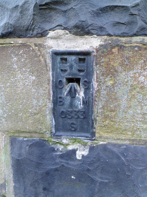
Image: © Meirion Taken: 17 Jan 2012
This flush bracket is located on S side of Bangor Road in Penmaenmawr and it is shown in the Ordnance Survey database as being 40.6854m above the Newlyn datum.
Images are licensed for reuse under creativecommons.org/licenses/by-sa/2.0
Image Location
Latitude
53.268063
Longitude
-3.923568