Bridge over the Black Weir Docks Feeder
Introduction
The photograph on this page of Bridge over the Black Weir Docks Feeder by Guy Butler-Madden as part of the Geograph project.
The Geograph project started in 2005 with the aim of publishing, organising and preserving representative images for every square kilometre of Great Britain, Ireland and the Isle of Man.

There are currently over 7.5m images from over 14,400 individuals and you can help contribute to the project by visiting https://www.geograph.org.uk
Bridge over the Black Weir Docks Feeder
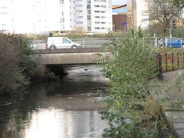
Image: © Guy Butler-Madden Taken: 16 Dec 2011
The Black Weir feeder supplied water from the Taff to Bute East and West Docks. It still supplies water to the redundant but, still existing, East Dock. The bridge carries Herbert Street over the feeder.
Images are licensed for reuse under creativecommons.org/licenses/by-sa/2.0
Image Location


Leaflet Map data © OpenStreetMap
Latitude
51.475846
Longitude
-3.171003