The Delamere Loop near Hart Hill
Introduction
The photograph on this page of The Delamere Loop near Hart Hill by Jeff Buck as part of the Geograph project.
The Geograph project started in 2005 with the aim of publishing, organising and preserving representative images for every square kilometre of Great Britain, Ireland and the Isle of Man.

There are currently over 7.5m images from over 14,400 individuals and you can help contribute to the project by visiting https://www.geograph.org.uk
The Delamere Loop near Hart Hill
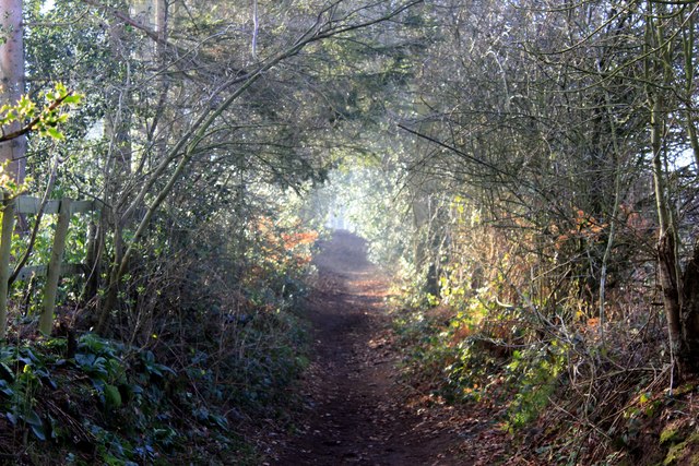
Image: © Jeff Buck Taken: 17 Jan 2012
The Delamere Loop is a 12miles/19km footpath and bridleway which runs from the Whitegate Way round in a circle, taking in Delamere Forest, Primrosehill Wood, and Little Budworth Country Park.
Images are licensed for reuse under creativecommons.org/licenses/by-sa/2.0
Image Location
Latitude
53.237926
Longitude
-2.653368