Marlborough Crescent, Bedford
Introduction
The photograph on this page of Marlborough Crescent, Bedford by Alan Murray-Rust as part of the Geograph project.
The Geograph project started in 2005 with the aim of publishing, organising and preserving representative images for every square kilometre of Great Britain, Ireland and the Isle of Man.

There are currently over 7.5m images from over 14,400 individuals and you can help contribute to the project by visiting https://www.geograph.org.uk
Marlborough Crescent, Bedford
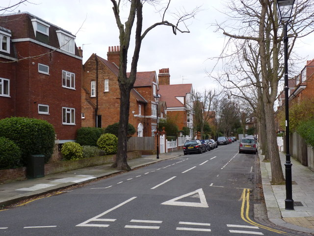
Image: © Alan Murray-Rust Taken: 10 Jan 2012
The north-western edge of the original part of Bedford Park, with most buildings Listed Grade II. The first house on the left (not the modern flats!) is probably by Norman Shaw; its neighbour definitively so.
Images are licensed for reuse under creativecommons.org/licenses/by-sa/2.0
Image Location
Latitude
51.497903
Longitude
-0.258555