Ebley: Chapel Lane north of the level crossing
Introduction
The photograph on this page of Ebley: Chapel Lane north of the level crossing by Jaggery as part of the Geograph project.
The Geograph project started in 2005 with the aim of publishing, organising and preserving representative images for every square kilometre of Great Britain, Ireland and the Isle of Man.

There are currently over 7.5m images from over 14,400 individuals and you can help contribute to the project by visiting https://www.geograph.org.uk
Ebley: Chapel Lane north of the level crossing
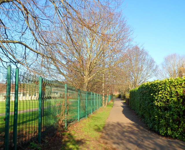
Image: © Jaggery Taken: 15 Jan 2012
North of the level crossing http://www.geograph.org.uk/photo/2768825 Chapel Lane narrows to a path along the perimeter fence of Foxmoor Primary School.
Images are licensed for reuse under creativecommons.org/licenses/by-sa/2.0
Image Location
Latitude
51.744327
Longitude
-2.253418