Railway lines west of Ebley level crossing
Introduction
The photograph on this page of Railway lines west of Ebley level crossing by Jaggery as part of the Geograph project.
The Geograph project started in 2005 with the aim of publishing, organising and preserving representative images for every square kilometre of Great Britain, Ireland and the Isle of Man.

There are currently over 7.5m images from over 14,400 individuals and you can help contribute to the project by visiting https://www.geograph.org.uk
Railway lines west of Ebley level crossing
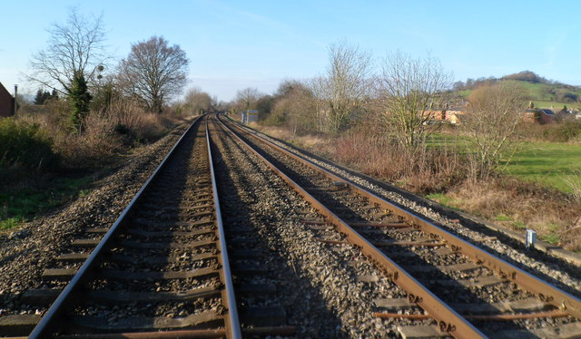
Image: © Jaggery Taken: 15 Jan 2012
Viewed from the middle of the level crossing. http://www.geograph.org.uk/photo/2768825 The lines head towards Stonehouse station, about 2km away. Stroud station is about 3km behind the camera.
Images are licensed for reuse under creativecommons.org/licenses/by-sa/2.0
Image Location
Latitude
51.742525
Longitude
-2.254856