Field near Skinnersland
Introduction
The photograph on this page of Field near Skinnersland by Derek Harper as part of the Geograph project.
The Geograph project started in 2005 with the aim of publishing, organising and preserving representative images for every square kilometre of Great Britain, Ireland and the Isle of Man.

There are currently over 7.5m images from over 14,400 individuals and you can help contribute to the project by visiting https://www.geograph.org.uk
Field near Skinnersland
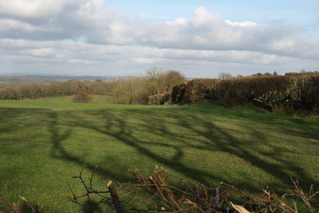
Image: © Derek Harper Taken: 13 Jan 2012
Tree shadows fall across a pasture beside Gulliver Lane. The field drops towards a stream which quickly joins the Taw.
Images are licensed for reuse under creativecommons.org/licenses/by-sa/2.0
Image Location


Leaflet Map data © OpenStreetMap
Latitude
50.826441
Longitude
-3.883364