Pylon Near Athersley North
Introduction
The photograph on this page of Pylon Near Athersley North by Martin Lee as part of the Geograph project.
The Geograph project started in 2005 with the aim of publishing, organising and preserving representative images for every square kilometre of Great Britain, Ireland and the Isle of Man.

There are currently over 7.5m images from over 14,400 individuals and you can help contribute to the project by visiting https://www.geograph.org.uk
Pylon Near Athersley North
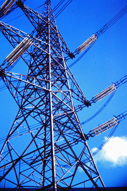
Image: © Martin Lee Taken: Unknown
The UK national grid spans the country connecting power stations to the users. This particular pylon gives a slight change of direction to take the cables over the disused railway bridge on Wakefield Road near to the Eastfield Arms.
Images are licensed for reuse under creativecommons.org/licenses/by-sa/2.0
Image Location
Latitude
53.589506
Longitude
-1.481036