Cross, Sampford Courtenay
Introduction
The photograph on this page of Cross, Sampford Courtenay by Derek Harper as part of the Geograph project.
The Geograph project started in 2005 with the aim of publishing, organising and preserving representative images for every square kilometre of Great Britain, Ireland and the Isle of Man.

There are currently over 7.5m images from over 14,400 individuals and you can help contribute to the project by visiting https://www.geograph.org.uk
Cross, Sampford Courtenay
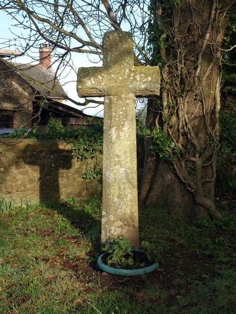
Image: © Derek Harper Taken: 13 Jan 2012
One of three in the village; this medieval cross is at the junction of Weirford Lane / Bulland Lane and Chapple Lane. Described at http://www.britishlistedbuildings.co.uk/en-93054-cross-at-north-end-of-village-just-north- and at http://www.flickr.com/photos/tollhouses/3552593558/ , which suggests it has been relocated.
Images are licensed for reuse under creativecommons.org/licenses/by-sa/2.0
Image Location
Latitude
50.795699
Longitude
-3.942719