Church tower and wall, Sampford Courtenay
Introduction
The photograph on this page of Church tower and wall, Sampford Courtenay by Derek Harper as part of the Geograph project.
The Geograph project started in 2005 with the aim of publishing, organising and preserving representative images for every square kilometre of Great Britain, Ireland and the Isle of Man.

There are currently over 7.5m images from over 14,400 individuals and you can help contribute to the project by visiting https://www.geograph.org.uk
Church tower and wall, Sampford Courtenay
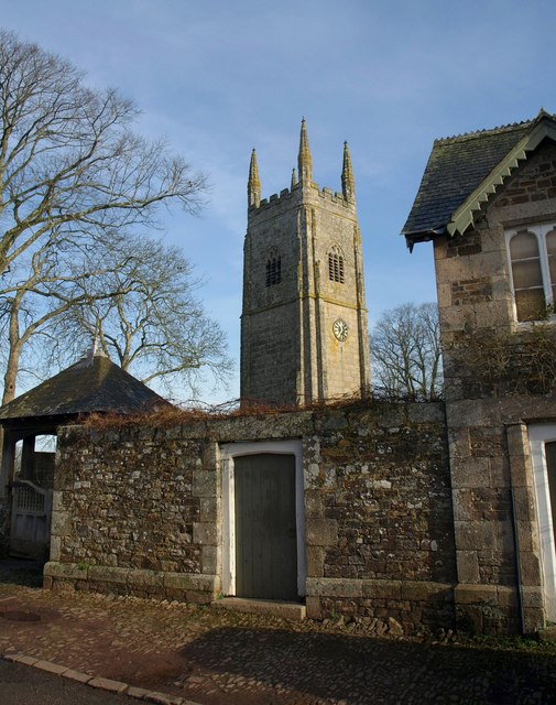
Image: © Derek Harper Taken: 13 Jan 2012
The wall has one of those intriguing doors. On the right is Image On the left, the lych gate gives access to the churchyard of St Andrew's, with its fine west tower http://www.britishlistedbuildings.co.uk/en-93055-church-of-st-andrew-sampford-courtenay .
Images are licensed for reuse under creativecommons.org/licenses/by-sa/2.0
Image Location
Latitude
50.794719
Longitude
-3.942111