Derelict Stables Manor Farm
Introduction
The photograph on this page of Derelict Stables Manor Farm by John Jennings as part of the Geograph project.
The Geograph project started in 2005 with the aim of publishing, organising and preserving representative images for every square kilometre of Great Britain, Ireland and the Isle of Man.

There are currently over 7.5m images from over 14,400 individuals and you can help contribute to the project by visiting https://www.geograph.org.uk
Derelict Stables Manor Farm
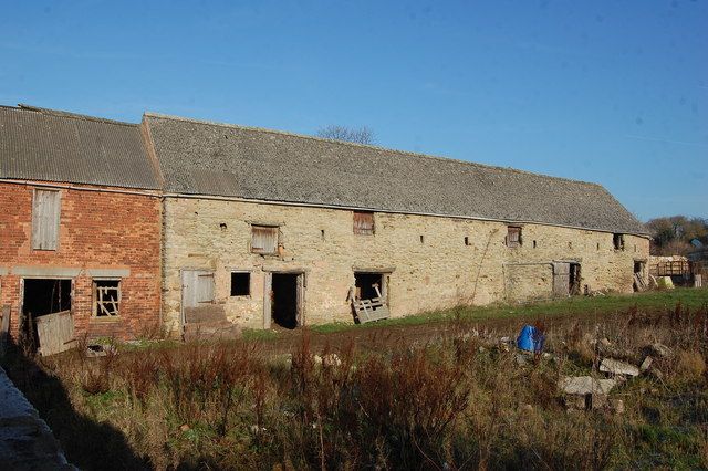
Image: © John Jennings Taken: 16 Jan 2012
All that remains of Manor Farm. The site has planning Permission for House Development.
Images are licensed for reuse under creativecommons.org/licenses/by-sa/2.0
Image Location
Latitude
53.316658
Longitude
-1.312178