Footpath near Crockenhill
Introduction
The photograph on this page of Footpath near Crockenhill by Marathon as part of the Geograph project.
The Geograph project started in 2005 with the aim of publishing, organising and preserving representative images for every square kilometre of Great Britain, Ireland and the Isle of Man.

There are currently over 7.5m images from over 14,400 individuals and you can help contribute to the project by visiting https://www.geograph.org.uk
Footpath near Crockenhill
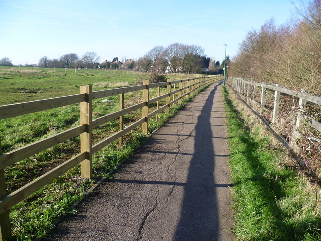
Image: © Marathon Taken: 16 Jan 2012
This short footpath leads from Goldsel Road to Stones Cross Road - the houses ahead are in the latter road. The busy A20 dual carriageway is just beyond the hedge to the right.
Images are licensed for reuse under creativecommons.org/licenses/by-sa/2.0
Image Location
Latitude
51.390191
Longitude
0.166401